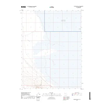
2023 Map of Elephant Knoll SE
USGS Topo · Published 2023About this map
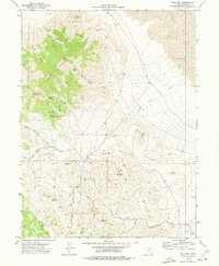
The Utah Test and Training Range occupies the northern expanse of this remote Tooele County landscape, signifying the region's long-standing military utility. The terrain is defined by the ephemeral drainage of Deep Creek and the southern Tank Wash, where water flow is seasonal and strictly follows the desert's natural contours. Human transit is sparse, centered on the southern boundary along Wilsons Way and Wilson Hill Rd. This 2023 survey illustrates a modern desert environment where large-scale government reservations meet high-desert topography, showing the exact parcel boundaries and section lines that define current land management in this portion of the Great Salt Lake Desert fringe.
Find a feature on this map
5 named features on this map. Tap any name to fly to it.
Don’t see what you’re looking for? This feature index may not catch every label — zoom into the map to look around manually.
Map Details
Editions of this 2023 Elephant Knoll SE Map
This is the sole edition of this map. No revisions or reprints were ever made.
Other maps of this area

1925 · Gold Hill
USGS Topo · 1:62,500

1928 · Gold Hill
USGS Topo · 1:62,500

1953 · Tooele
USGS Topo · 1:250,000

1955 · Tooele
USGS Topo · 1:250,000

1972 · Elephant Knoll
USGS Topo · 1:24,000
1972 · Elephant Knoll NW
USGS Topo · 1:24,000
1972 · Elephant Knoll NE
USGS Topo · 1:24,000

1972 · Elephant Knoll SE
USGS Topo · 1:24,000
1973 · Ochre Mountain
USGS Topo · 1:24,000
1973 · Gold Hill
USGS Topo · 1:24,000