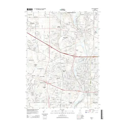
2015 Map of Elgin
USGS Topo · Published 2015About this map
The Fox River corridor serves as the primary north-south artery for this portion of the Fox Valley, anchoring established communities from Carpentersville down through Elgin and South Elgin. This era reveals a densely developed suburban landscape where older centers like West Dundee and East Dundee are joined by mid-century planned developments such as Sleepy Hollow and Williamsburg Green. The presence of large institutional footprints, including Judson Univ and the Elgin State Hospital Cemetery, highlights the area's long-standing role as a regional service hub.
Find a feature on this map
45 named features on this map. Tap any name to fly to it.
Don’t see what you’re looking for? This feature index may not catch every label — zoom into the map to look around manually.
Map Details
Editions of this 2015 Elgin Map
This is the sole edition of this map. No revisions or reprints were ever made.
Other maps of this area

1908 · Wheaton
USGS Topo · 1:62,500

1923 · Barrington
USGS Topo · 1:62,500

1925 · Elgin
USGS Topo · 1:62,500

1932 · Geneva
USGS Topo · 1:62,500

1935 · Barrington
USGS Topo · 1:62,500

1940 · Elgin
USGS Topo · 1:62,500

1948 · Wheaton
USGS Topo · 1:62,500

1948 · Geneva
USGS Topo · 1:62,500

1949 · Geneva
USGS Topo · 1:24,000

1953 · West Chicago
USGS Topo · 1:24,000