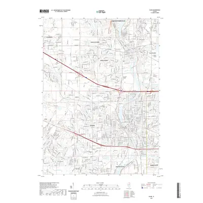
2021 Map of Elgin
USGS Topo · Published 2021About this map
The Fox River serves as the central artery for this densely developed corridor in northern Illinois, anchoring a string of established communities from Carpentersville down through Elgin and South Elgin. This contemporary survey reveals a complex landscape where suburban expansion meets legacy institutions, such as Judson University and Elgin Community College. The density of the urban grid is balanced by significant green spaces and preservation areas, notably the Bluff Spring Fen and River Valley Memorial Gardens, reflecting a modern emphasis on protecting natural hydrology alongside residential growth.
Find a feature on this map
47 named features on this map. Tap any name to fly to it.
Don’t see what you’re looking for? This feature index may not catch every label — zoom into the map to look around manually.
Map Details
Editions of this 2021 Elgin Map
This is the sole edition of this map. No revisions or reprints were ever made.
Other maps of this area

1908 · Wheaton
USGS Topo · 1:62,500

1923 · Barrington
USGS Topo · 1:62,500

1925 · Elgin
USGS Topo · 1:62,500

1932 · Geneva
USGS Topo · 1:62,500

1935 · Barrington
USGS Topo · 1:62,500

1940 · Elgin
USGS Topo · 1:62,500

1948 · Wheaton
USGS Topo · 1:62,500

1948 · Geneva
USGS Topo · 1:62,500

1949 · Geneva
USGS Topo · 1:24,000

1953 · West Chicago
USGS Topo · 1:24,000