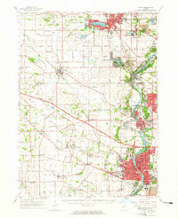
1962 Map of Elgin
USGS Topo · Published 1965About this map
The Fox River corridor anchors this mid-century survey of northeastern Illinois, documenting the suburban and industrial expansion between Elgin and Crystal Lake. The landscape reveals a dense network of educational and civic institutions, from the Elgin Academy and Dundee High School to the sprawling State Hospital complex. In the west, the rural character remains more prominent around settlements like Plato Center and Pingree Grove, where family-named landmarks and country burial grounds like Plato Center Cemetery and Washington Church Cemetery persist alongside the Chicago Milwaukee St Paul and Pacific railroad lines.
Find a feature on this map
146 named features on this map. Tap any name to fly to it.
Don’t see what you’re looking for? This feature index may not catch every label — zoom into the map to look around manually.
Map Details
Editions of this 1962 Elgin Map
This is the sole edition of this map. No revisions or reprints were ever made.
Other maps of this area

1908 · Wheaton
USGS Topo · 1:62,500

1920 · Grays Lake
USGS Topo · 1:62,500

1923 · Grays Lake
USGS Topo · 1:62,500

1923 · Barrington
USGS Topo · 1:62,500

1925 · Elgin
USGS Topo · 1:62,500

1926 · Mc Henry
USGS Topo · 1:62,500

1932 · Harvard
USGS Topo · 1:48,000

1932 · Geneva
USGS Topo · 1:62,500

1935 · Barrington
USGS Topo · 1:62,500

1937 · Sycamore
USGS Topo · 1:62,500