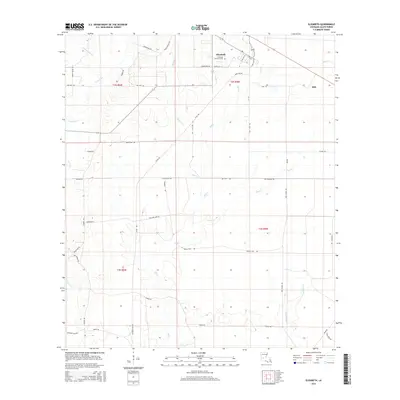
2015 Map of Elizabeth
USGS Topo · Published 2015About this map
The town of Elizabeth serves as the primary hub in this portion of Allen Parish, Louisiana, situated near the Hampton Memorial Cem and bounded by a dense network of timber and logging-era roads. The landscape is defined by the drainage patterns of numerous creeks, including Tenmile Cr and Alligator Cr, which snake through the township boundaries of T2S and T3S. To the east, the small settlement of Mab is positioned near the headwaters of Mab Br, while the southern reaches of the quadrangle are marked by the winding path of Little Mill Cr. A complex web of access routes like Old Main Line Rd and Tram Rd suggests a history of local industry and transport, providing researchers with a clear look at the rural connectivity and property divisions of the early 21st century.
Find a feature on this map
45 named features on this map. Tap any name to fly to it.
Don’t see what you’re looking for? This feature index may not catch every label — zoom into the map to look around manually.
Map Details
Editions of this 2015 Elizabeth Map
This is the sole edition of this map. No revisions or reprints were ever made.
Other maps of this area

1935 · Mittie
USGS Topo · 1:31,680

1935 · Pawnee
USGS Topo · 1:31,680

1935 · Oakdale
USGS Topo · 1:31,680

1942 · Oakdale
USGS Topo · 1:62,500

1947 · Foley
USGS Topo · 1:31,680

1947 · Steep Gully
USGS Topo · 1:31,680

1947 · Pine Chapel
USGS Topo · 1:31,680

1947 · Elizabeth
USGS Topo · 1:31,680

1947 · Grant
USGS Topo · 1:31,680

1947 · Pitkin
USGS Topo · 1:31,680