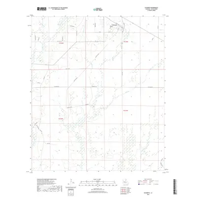
2018 Map of Elizabeth
USGS Topo · Published 2018About this map
The town of Elizabeth serves as the primary settlement in this corner of Allen Parish, established near the junction of several drainage systems. The landscape is defined by its riparian networks, including the meandering paths of Tenmile Cr and Black Cr. Local history is anchored at the Hampton Memorial Cem, located just south of the town center near Maple St.
Find a feature on this map
40 named features on this map. Tap any name to fly to it.
Don’t see what you’re looking for? This feature index may not catch every label — zoom into the map to look around manually.
Map Details
Editions of this 2018 Elizabeth Map
This is the sole edition of this map. No revisions or reprints were ever made.
Other maps of this area

1935 · Mittie
USGS Topo · 1:31,680

1935 · Pawnee
USGS Topo · 1:31,680

1935 · Oakdale
USGS Topo · 1:31,680

1942 · Oakdale
USGS Topo · 1:62,500

1947 · Foley
USGS Topo · 1:31,680

1947 · Steep Gully
USGS Topo · 1:31,680

1947 · Pine Chapel
USGS Topo · 1:31,680

1947 · Elizabeth
USGS Topo · 1:31,680

1947 · Grant
USGS Topo · 1:31,680

1947 · Pitkin
USGS Topo · 1:31,680