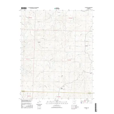
2017 Map of Elizabeth
USGS Topo · Published 2017About this map
Elizabeth and Mitchell serve as primary points of interest in this section of the Ozarks during the 2010s, where the landscape is defined by the deep dissection of the plateau by numerous waterways. The border between Fulton and Izard Counties cuts across the southern portion of the map, separating the communities of Wild Cherry and Bexar. A distinct network of ridge-top and valley-bottom roads, such as Flora Cemetery Rd and Hebron Church Rd, connects small settlements and isolated homesteads.
Find a feature on this map
58 named features on this map. Tap any name to fly to it.
Don’t see what you’re looking for? This feature index may not catch every label — zoom into the map to look around manually.
Map Details
Editions of this 2017 Elizabeth Map
This is the sole edition of this map. No revisions or reprints were ever made.
Other maps of this area

1890 · Mountain Home
USGS Topo · 1:125,000

1891 · Mountain Home
USGS Topo · 1:125,000

1894 · Mountain Home
USGS Topo · 1:125,000

1945 · Harrison
USGS Topo · 1:250,000

1949 · Harrison
USGS Topo · 1:250,000

1950 · Salem
USGS Topo · 1:62,500

1951 · Salem
USGS Topo · 1:62,500

1951 · Melbourne
USGS Topo · 1:62,500

1954 · Harrison
USGS Topo · 1:250,000

1957 · Poplar Bluff
USGS Topo · 1:250,000