2024 Map of Elizabeth
USGS Topo · Published 2024About this map
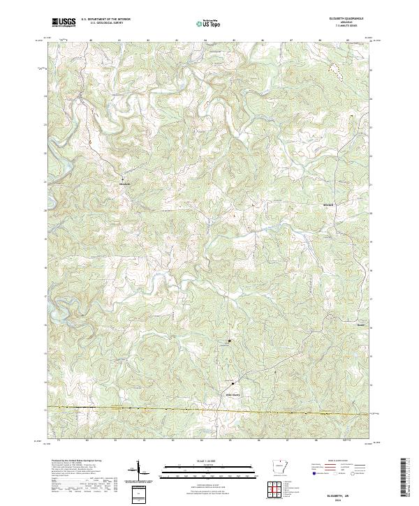
Elizabeth and Wild Cherry anchor this portion of the Ozark foothills, where the landscape is defined by the deep incisions of the Big Creek and Brushy Creek systems. The map illustrates a rural settlement pattern where communities like Mitchell and Bexar are linked by a network of county roads that follow the winding ridgelines and valley floors. This area along the Fulton Co and Izard Co border preserves a window into the region's genealogical history through sites like Smith Chapel Cem and Myse Cem. The terrain is notably rugged in the vicinity of Kerley Point Cove, where the topography drops sharply toward the various branches of the creek system. The drainage patterns of Hutchinson Creek and North Brushy Creek demonstrate the complex hydrology that has historically dictated road placement and property boundaries in this part of Arkansas.
Find a feature on this map
60 named features on this map. Tap any name to fly to it.
Don’t see what you’re looking for? This feature index may not catch every label — zoom into the map to look around manually.
Map Details
Editions of this 2024 Elizabeth Map
This is the sole edition of this map. No revisions or reprints were ever made.
Other maps of this area

1890 · Mountain Home
USGS Topo · 1:125,000

1891 · Mountain Home
USGS Topo · 1:125,000

1894 · Mountain Home
USGS Topo · 1:125,000

1945 · Harrison
USGS Topo · 1:250,000

1949 · Harrison
USGS Topo · 1:250,000

1950 · Salem
USGS Topo · 1:62,500

1951 · Salem
USGS Topo · 1:62,500

1951 · Melbourne
USGS Topo · 1:62,500

1954 · Harrison
USGS Topo · 1:250,000

1957 · Poplar Bluff
USGS Topo · 1:250,000