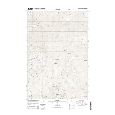
2013 Map of Elizabeth Lake
USGS Topo · Published 2013About this map
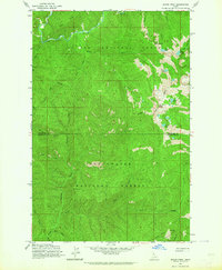
Clearwater National Forest dominates this high-altitude landscape, where several prominent ridgelines define the watershed. Indian Henry Ridge and Pot Mtn Ridge run through the northern sections, while the southern terrain is anchored by Moscow Bar Ridge and Flat Mtn. This area is characterized by a dense concentration of small alpine lakes, including Elizabeth Lake, Pete Ott Lake, and the uniquely named Fille Lake and Effie Lake.
Find a feature on this map
107 named features on this map. Tap any name to fly to it.
Don’t see what you’re looking for? This feature index may not catch every label — zoom into the map to look around manually.
Map Details
Editions of this 2013 Elizabeth Lake Map
This is the sole edition of this map. No revisions or reprints were ever made.
Other maps of this area

1911 · Lolo
USGS Topo · 1:250,000

1913 · Lolo
USGS Topo · 1:250,000

1956 · Hamilton
USGS Topo · 1:250,000

1959 · Hamilton
USGS Topo · 1:250,000

1960 · Hamilton
USGS Topo · 1:250,000
1963 · Pole Mtn
USGS Topo · 1:24,000
1963 · The Nub
USGS Topo · 1:24,000
1963 · Elizabeth Lake
USGS Topo · 1:24,000
1963 · Bacon Peak
USGS Topo · 1:24,000

1964 · Hamilton
USGS Topo · 1:250,000