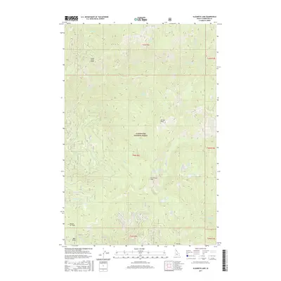
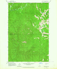
2017 Map of Elizabeth Lake
USGS Topo · Published 2017About this map
Clearwater National Forest dominates this Idaho interior, a high-elevation terrain defined by prominent ridges and a series of alpine lakes. The geography is anchored by major elevations such as Cold Springs Peak and Pot Mtn Ridge, which separate various drainage basins including Bear Creek and Elizabeth Creek. The landscape shows a distinct cluster of small bodies of water in the southeast, where Elizabeth Lake, Tillie Lake, Ellie Lake, and Pete Ott Lake sit below the surrounding peaks.
Find a feature on this map
33 named features on this map. Tap any name to fly to it.
Don’t see what you’re looking for? This feature index may not catch every label — zoom into the map to look around manually.
Map Details
Editions of this 2017 Elizabeth Lake Map
This is the sole edition of this map. No revisions or reprints were ever made.
Other maps of this area

1911 · Lolo
USGS Topo · 1:250,000

1913 · Lolo
USGS Topo · 1:250,000

1956 · Hamilton
USGS Topo · 1:250,000

1959 · Hamilton
USGS Topo · 1:250,000

1960 · Hamilton
USGS Topo · 1:250,000
1963 · Pole Mtn
USGS Topo · 1:24,000
1963 · The Nub
USGS Topo · 1:24,000
1963 · Elizabeth Lake
USGS Topo · 1:24,000
1963 · Bacon Peak
USGS Topo · 1:24,000

1964 · Hamilton
USGS Topo · 1:250,000