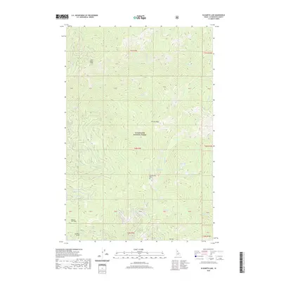
2020 Map of Elizabeth Lake
USGS Topo · Published 2020About this map
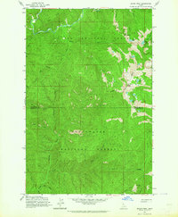
Clearwater National Forest dominates this high-altitude landscape in the Idaho backcountry, where the terrain is defined by a series of sharp ridges and isolated alpine basins. The topography is anchored by prominent landmarks such as Cold Springs Peak and Pot Mtn Ridge, while the drainage network includes Indian Henry Ridge and Moscow Bar Ridge. A cluster of high lakes, including Elizabeth Lake, Cold Lake, and Spring Lake, suggests a classic glacial geography. The single named settlement point, Mush Saddle, is situated at the terminus of Co RD 711, marking one of the few points of human access into this dense network of creeks like Grizzly Cr and Quartz Cr.
Find a feature on this map
47 named features on this map. Tap any name to fly to it.
Don’t see what you’re looking for? This feature index may not catch every label — zoom into the map to look around manually.
Map Details
Editions of this 2020 Elizabeth Lake Map
This is the sole edition of this map. No revisions or reprints were ever made.
Other maps of this area

1911 · Lolo
USGS Topo · 1:250,000

1913 · Lolo
USGS Topo · 1:250,000

1956 · Hamilton
USGS Topo · 1:250,000

1959 · Hamilton
USGS Topo · 1:250,000

1960 · Hamilton
USGS Topo · 1:250,000
1963 · Pole Mtn
USGS Topo · 1:24,000
1963 · The Nub
USGS Topo · 1:24,000
1963 · Elizabeth Lake
USGS Topo · 1:24,000
1963 · Bacon Peak
USGS Topo · 1:24,000

1964 · Hamilton
USGS Topo · 1:250,000