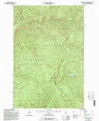
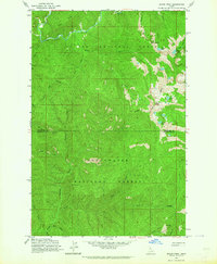
1994 Map of Elizabeth Lake
USGS Topo · Published 1997About this map
Elizabeth Lake and its surrounding alpine basin form the heart of this mid-1990s forest survey. High-elevation terrain is defined by prominent divides such as Pot Mtn Ridge and Henry Ridge, which separate the drainages of Quartz Creek and Elizabeth Creek. This part of the Clearwater National Forest is characterized by remote summits and isolated water bodies, including Tillie Lake and Pete Ott Lake. The map reveals a landscape accessed primarily by a network of forest trails, crossing at strategic points like Mush Saddle or climbing toward Cold Springs Peak. The drainage patterns of Pete Ott Creek and Saddle Creek illustrate the steep descent from the Clearwater Min peaks, providing an essential resource for those mapping the hydrography and topography of this Idaho wilderness.
Find a feature on this map
20 named features on this map. Tap any name to fly to it.
Don’t see what you’re looking for? This feature index may not catch every label — zoom into the map to look around manually.
Map Details
Editions of this 1994 Elizabeth Lake Map
This is the sole edition of this map. No revisions or reprints were ever made.
Other maps of this area

1911 · Lolo
USGS Topo · 1:250,000

1913 · Lolo
USGS Topo · 1:250,000

1956 · Hamilton
USGS Topo · 1:250,000

1959 · Hamilton
USGS Topo · 1:250,000

1960 · Hamilton
USGS Topo · 1:250,000
1963 · Pole Mtn
USGS Topo · 1:24,000
1963 · The Nub
USGS Topo · 1:24,000
1963 · Elizabeth Lake
USGS Topo · 1:24,000
1963 · Bacon Peak
USGS Topo · 1:24,000

1964 · Hamilton
USGS Topo · 1:250,000