2024 Map of Elizabeth NE
USGS Topo · Published 2024About this map
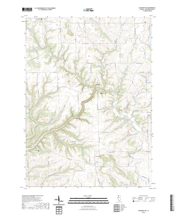
Apple River and its various tributaries define the hydrology of this Jo Daviess County landscape, winding through a terrain marked by significant local landmarks like Benton Mound. The settlement of Millville serves as a central point of interest, located near the Millville Cem and the confluence of several local streams. The area is characterized by a dense network of country roads, such as N Canyon Park Rd and E Townsend Rd, which connect scattered homesteads and rural landmarks. For those tracing family history, the map identifies several burial sites, including Saint Joseph Cem in the northwest and Elmwood Cem in the northeast. The complex drainage pattern of South Fork Apple River, Kentucky Creek, and Mud Run illustrates the natural erosion and ridge-and-valley topography typical of this part of Illinois.
Find a feature on this map
56 named features on this map. Tap any name to fly to it.
Don’t see what you’re looking for? This feature index may not catch every label — zoom into the map to look around manually.
Map Details
Editions of this 2024 Elizabeth NE Map
This is the sole edition of this map. No revisions or reprints were ever made.
Historical Maps of Apple River Through Time
8 maps found
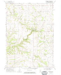
1968 Elizabeth NE
Jo Daviess County, IL
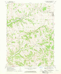
1968 Scales Mound East
Jo Daviess County, IL
1968 Scales Mound West
Jo Daviess County, IL
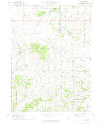
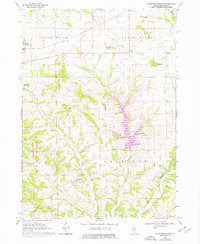
1971 Kent
Jo Daviess County, IL
2024 Elizabeth NE
Jo Daviess County, IL
2024 Kent
Jo Daviess County, IL
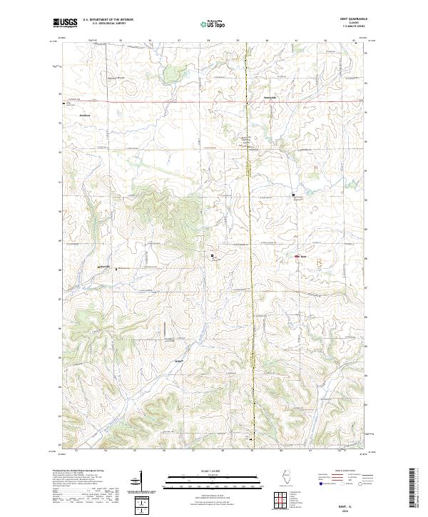
2024 Scales Mound East
Jo Daviess County, IL
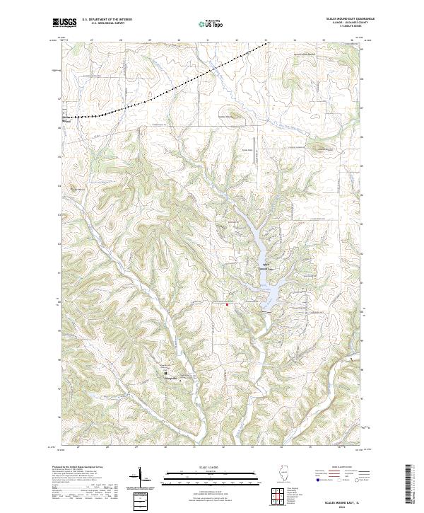
2024 Scales Mound West
Jo Daviess County, IL
Featured Locations
- Rush Township, IL
- Thompson Township, IL
- Apple River Township, IL
- Warren, Warren Township
- Apple River, Apple River Township