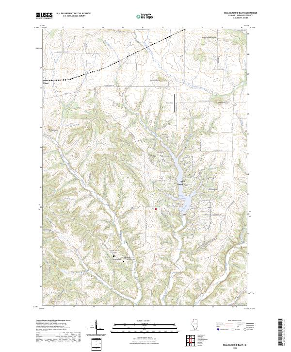
2024 Map of Scales Mound East
USGS Topo · Published 2024About this map
High-relief glacial features and artificial water systems define this portion of Jo Daviess County. The landscape is punctuated by prominent elevations like Squirrel Grove Mound, Hudson Mound, and Mound Sumner, which rise significantly above the surrounding terrain. In the south, the settlement of Schapville serves as a local hub, home to the Schapville Zion Presbyterian Cem and the Shepherd of the Hills Lutheran Church Cem.
Find a feature on this map
76 named features on this map. Tap any name to fly to it.
Don’t see what you’re looking for? This feature index may not catch every label — zoom into the map to look around manually.
Map Details
Editions of this 2024 Scales Mound East Map
This is the sole edition of this map. No revisions or reprints were ever made.
Other maps of this area

1902 · Mineral Point
USGS Topo · 1:125,000

1911 · Elizabeth
USGS Topo · 1:62,500

1911 · Galena
USGS Topo · 1:62,500

1913 · Galena
USGS Topo · 1:62,500

1936 · Elizabeth
USGS Topo · 1:62,500

1952 · Shullsburg
USGS Topo · 1:24,000

1952 · New Diggings
USGS Topo · 1:24,000

1959 · Dubuque
USGS Topo · 1:250,000

1961 · Dubuque
USGS Topo · 1:250,000

1962 · Dubuque
USGS Topo · 1:250,000
Featured Places
- Scales Mound, IL
- Guilford Township, IL
- Scales Mound Township, IL
- Thompson Township, IL
- Apple River Township, IL