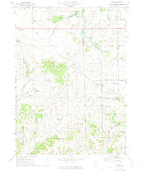
1971 Map of Kent
USGS Topo · Published 1974About this map
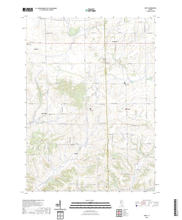
Kent sits at the heart of this landscape, a settlement established along the Chicago And North Western railroad line. The map highlights a rural economy transitioning through the early 1970s, where small hamlets like Morseville and Willow are connected by a network of named roads such as W Dublin Rd and West Gold Mine Rd. The terrain is defined by the divides between the Yellow Creek and the Plum River, with the Jo Daviess and Stephenson county line splitting the eastern half of the survey.
Find a feature on this map
52 named features on this map. Tap any name to fly to it.
Don’t see what you’re looking for? This feature index may not catch every label — zoom into the map to look around manually.
Map Details
Editions of this 1971 Kent Map
This is the sole edition of this map. No revisions or reprints were ever made.
Historical Maps of Stockton Through Time
24 maps found
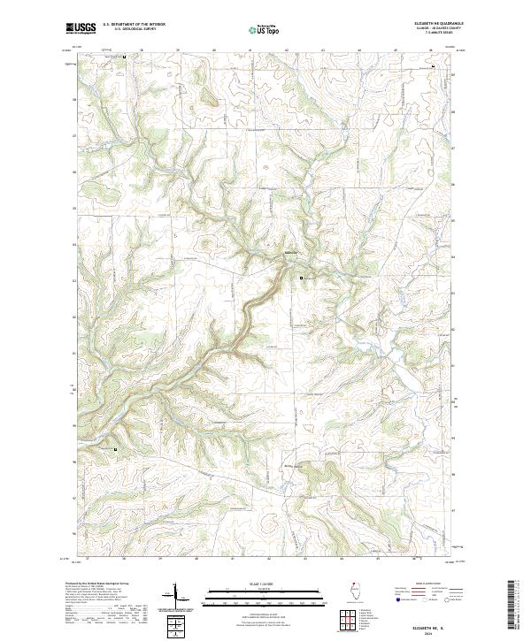
1968 Elizabeth NE
Jo Daviess County, IL
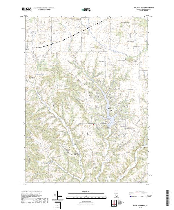
1968 Scales Mound East
Jo Daviess County, IL
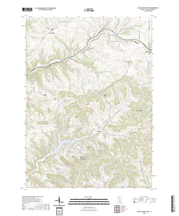
1968 Scales Mound West
Jo Daviess County, IL
1971 Kent
Jo Daviess County, IL
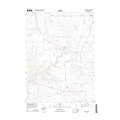
2012 Elizabeth NE
Jo Daviess County, IL
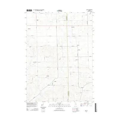
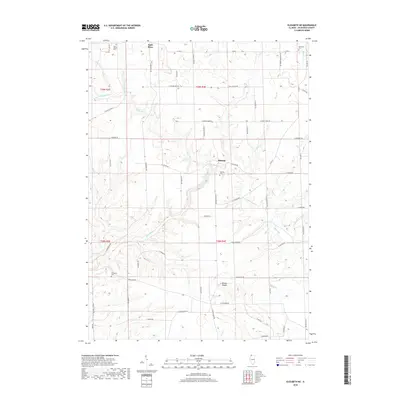
2012 Kent
Jo Daviess County, IL
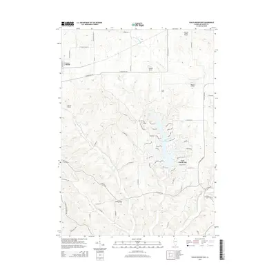
2012 Scales Mound East
Jo Daviess County, IL
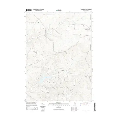
2012 Scales Mound West
Jo Daviess County, IL
2015 Elizabeth NE
Jo Daviess County, IL
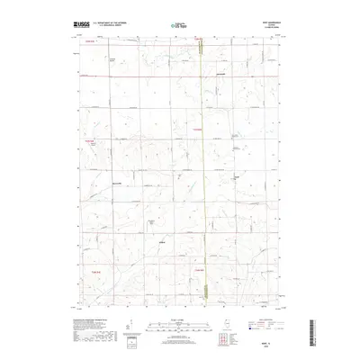
2015 Kent
Jo Daviess County, IL
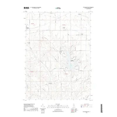
2015 Scales Mound East
Jo Daviess County, IL
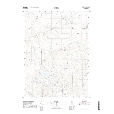
2015 Scales Mound West
Jo Daviess County, IL
2018 Elizabeth NE
Jo Daviess County, IL
2018 Kent
Jo Daviess County, IL
2018 Scales Mound East
Jo Daviess County, IL
2018 Scales Mound West
Jo Daviess County, IL
2021 Elizabeth NE
Jo Daviess County, IL
2021 Kent
Jo Daviess County, IL
2021 Scales Mound East
Jo Daviess County, IL
2021 Scales Mound West
Jo Daviess County, IL
2024 Elizabeth NE
Jo Daviess County, IL
2024 Kent
Jo Daviess County, IL
2024 Scales Mound East
Jo Daviess County, IL
2024 Scales Mound West
Jo Daviess County, IL