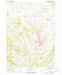
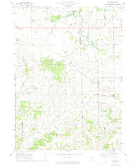
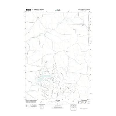
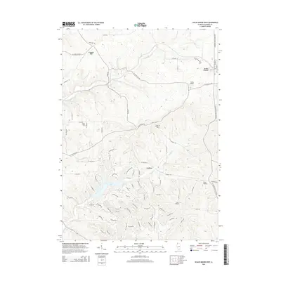
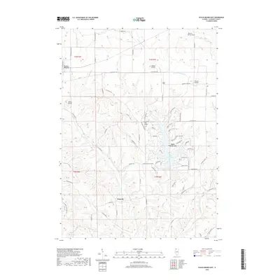
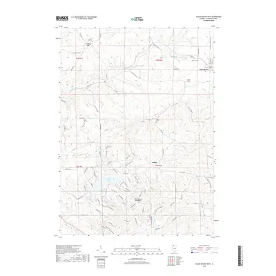
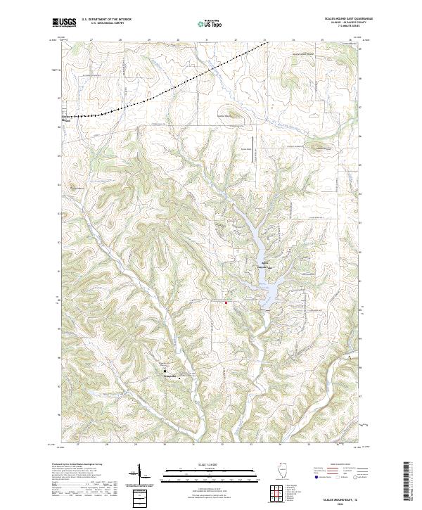
1968 Map of Scales Mound East
USGS Topo · Published 1977About this map
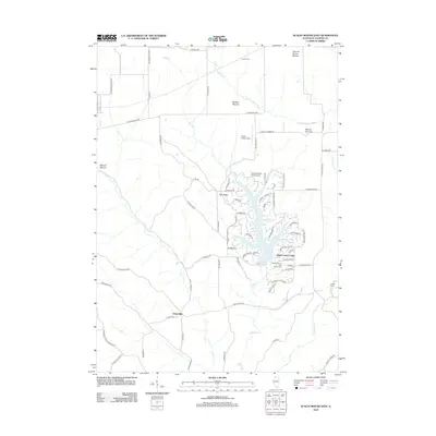
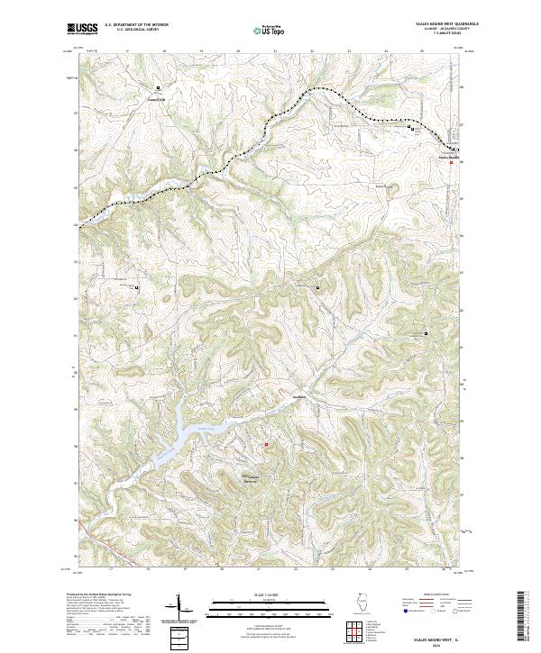
Scales Mound and the surrounding Driftless Area of northwest Illinois are captured here during a period of notable landscape change. While the Illinois Central railroad corridor and the village of Schapville reflect the region's long-standing agricultural and transport roots, the introduction of Apple Canyon Lake marks a shift toward recreation. This reservoir, shown with its Boat Ramp, Golf Course, and Campground, contrasts with the older terrain markers like Mt Sumner, Hudson Mound, and Squirrel Grove Mound. The map also documents numerous Quarry sites throughout the drainage basins of the Apple River and Hells Branch, alongside a high-altitude Landing Strip and a significant cross-country Pipeline. These features together illustrate a rural economy transitioning from traditional quarrying and farming into a modern residential and recreational hub.
Find a feature on this map
26 named features on this map. Tap any name to fly to it.
Don’t see what you’re looking for? This feature index may not catch every label — zoom into the map to look around manually.
Map Details
Editions of this 1968 Scales Mound East Map
2 editions found
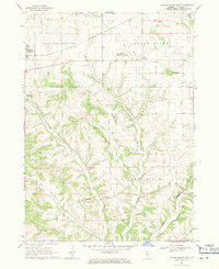
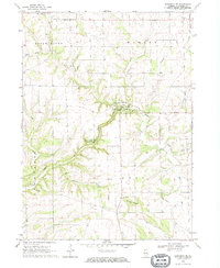
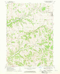
Historical Maps of Scales Mound Through Time
24 maps found
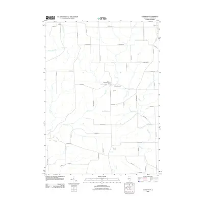
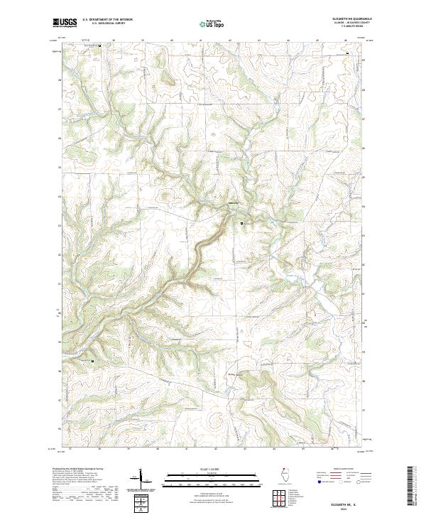
1968 Elizabeth NE
Jo Daviess County, IL
1968 Scales Mound East
Jo Daviess County, IL
1968 Scales Mound West
Jo Daviess County, IL
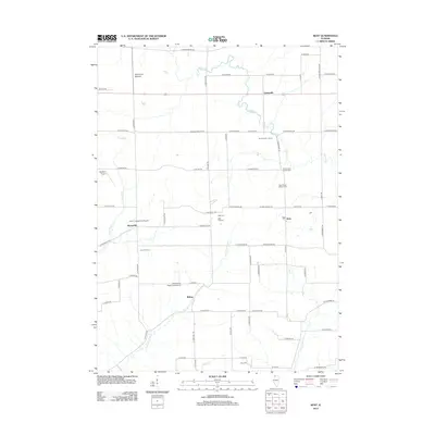
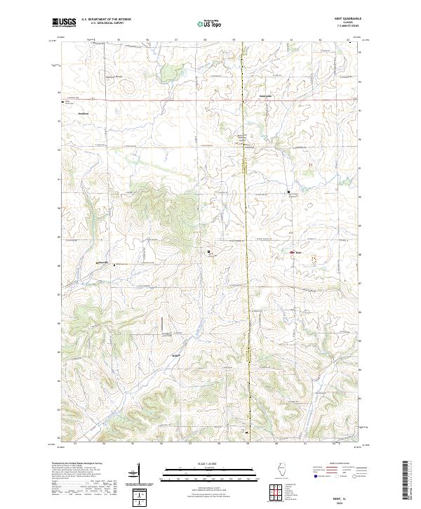
1971 Kent
Jo Daviess County, IL
2012 Elizabeth NE
Jo Daviess County, IL
2012 Kent
Jo Daviess County, IL
2012 Scales Mound East
Jo Daviess County, IL
2012 Scales Mound West
Jo Daviess County, IL
2015 Elizabeth NE
Jo Daviess County, IL
2015 Kent
Jo Daviess County, IL
2015 Scales Mound East
Jo Daviess County, IL
2015 Scales Mound West
Jo Daviess County, IL
2018 Elizabeth NE
Jo Daviess County, IL
2018 Kent
Jo Daviess County, IL
2018 Scales Mound East
Jo Daviess County, IL
2018 Scales Mound West
Jo Daviess County, IL
2021 Elizabeth NE
Jo Daviess County, IL
2021 Kent
Jo Daviess County, IL
2021 Scales Mound East
Jo Daviess County, IL
2021 Scales Mound West
Jo Daviess County, IL
2024 Elizabeth NE
Jo Daviess County, IL
2024 Kent
Jo Daviess County, IL
2024 Scales Mound East
Jo Daviess County, IL
2024 Scales Mound West
Jo Daviess County, IL
Featured Locations
- Guilford Township, IL
- Scales Mound Township, IL
- Thompson Township, IL
- Scales Mound, Scales Mound Township
- Schapville, Thompson Township