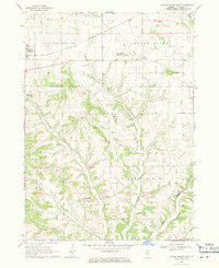
1968 Map of Scales Mound East
USGS Topo · Published 1971About this map
The village of Scales Mound and the rural hamlet of Schapville anchor this late-1960s survey of Jo Daviess County. The landscape is characterized by prominent geological rises such as Hudson Mound, Squirrel Grove Mound, and Mt Sumner, which overlook a complex drainage network including the Apple River and the provocatively named Hells Branch. These elevations reflect the driftless nature of the region, where the terrain was never flattened by glacial activity, leaving behind a dissected plateau of deep valleys and high ridges like Pea Ridge.
Find a feature on this map
21 named features on this map. Tap any name to fly to it.
Don’t see what you’re looking for? This feature index may not catch every label — zoom into the map to look around manually.
Map Details
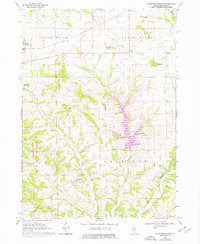
Editions of this 1968 Scales Mound East Map
2 editions found
Other maps of this area

1902 · Mineral Point
USGS Topo · 1:125,000

1911 · Elizabeth
USGS Topo · 1:62,500

1911 · Galena
USGS Topo · 1:62,500

1913 · Galena
USGS Topo · 1:62,500

1936 · Elizabeth
USGS Topo · 1:62,500

1952 · Shullsburg
USGS Topo · 1:24,000

1952 · New Diggings
USGS Topo · 1:24,000

1959 · Dubuque
USGS Topo · 1:250,000

1961 · Dubuque
USGS Topo · 1:250,000

1962 · Dubuque
USGS Topo · 1:250,000