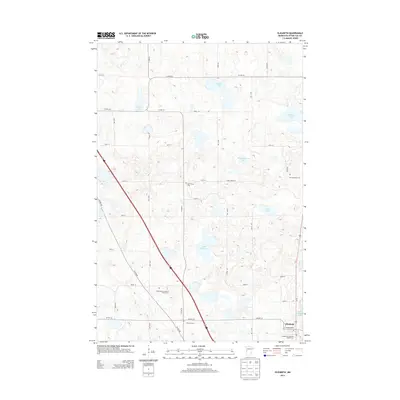
2013 Map of Elizabeth
USGS Topo · Published 2013About this map
The Pelican River winds through the southeastern corner of this region, feeding into Red River Lake near the established settlement of Elizabeth. This landscape in Otter Tail County is defined by its glacial hydrology, with numerous basins like Lake Haldorsen, Christopherson Lake, and Houland Lake dotting the terrain. The map serves as a vital record for genealogists, as it documents several distinct burial sites including Old Friborg Cem, S Friborg Cem, and the Evangelical Lutheran Kirchof Cem. A geometric grid of rural roads, such as Co HWY-21 and 350th ST, connects these scattered landmarks and local farmsteads. The orientation of these cemeteries and the small church at Hedemarken Lutheran Church Cem reflects the Scandinavian heritage and early parish divisions of this rural Minnesota community during the early 21st century.
Find a feature on this map
38 named features on this map. Tap any name to fly to it.
Don’t see what you’re looking for? This feature index may not catch every label — zoom into the map to look around manually.
Map Details
Editions of this 2013 Elizabeth Map
This is the sole edition of this map. No revisions or reprints were ever made.
Other maps of this area

1913 · Fergus Falls
USGS Topo · 1:62,500

1914 · Pelican Rapids
USGS Topo · 1:62,500

1917 · Pelican Rapids
USGS Topo · 1:62,500

1919 · Rothsay
USGS Topo · 1:62,500

1919 · Barnesville
USGS Topo · 1:62,500

1951 · Rothsay
USGS Topo · 1:62,500

1952 · Barnesville
USGS Topo · 1:62,500

1953 · Fargo
USGS Topo · 1:250,000

1956 · Fargo
USGS Topo · 1:250,000

1966 · Carlisle
USGS Topo · 1:24,000