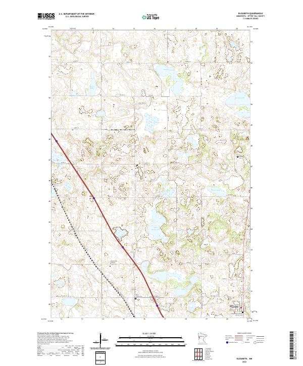
2022 Map of Elizabeth
USGS Topo · Published 2022About this map
The village of Elizabeth sits in the southeastern corner of this Otter Tail County survey, surrounded by a complex landscape of glacial kettle lakes and prairie wetlands. This region is defined by its deep Scandinavian heritage, evidenced by the high concentration of rural parish grounds such as the Old Friborg Cem and South Friborg Cem. The road network, including the diagonal path of Old Hwy 52, links these scattered community hubs and burial sites like the Hedemarken Lutheran Church Cem. Significant water bodies like Lake Haldorsen and Nelson Lake dominate the terrain, illustrating the post-glacial topography of West Central Minnesota. The map provides a precise look at the 21st-century configuration of section lines and county roads that have organized this agricultural and lake-rich landscape for generations.
Find a feature on this map
40 named features on this map. Tap any name to fly to it.
Don’t see what you’re looking for? This feature index may not catch every label — zoom into the map to look around manually.
Map Details
Editions of this 2022 Elizabeth Map
This is the sole edition of this map. No revisions or reprints were ever made.
Other maps of this area

1913 · Fergus Falls
USGS Topo · 1:62,500

1914 · Pelican Rapids
USGS Topo · 1:62,500

1917 · Pelican Rapids
USGS Topo · 1:62,500

1919 · Rothsay
USGS Topo · 1:62,500

1919 · Barnesville
USGS Topo · 1:62,500

1951 · Rothsay
USGS Topo · 1:62,500

1952 · Barnesville
USGS Topo · 1:62,500

1953 · Fargo
USGS Topo · 1:250,000

1956 · Fargo
USGS Topo · 1:250,000

1966 · Carlisle
USGS Topo · 1:24,000