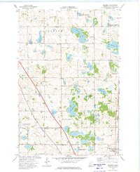
1973 Map of Elizabeth
USGS Topo · Published 1975About this map
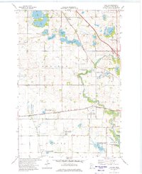
Glacial geology and the resulting wetland ecosystem dominate this portion of Otter Tail County, where numerous water bodies like Lake Haldorsen and Hovland Lake are interspersed with protected conservation grounds. The Oscar State Wildlife Management Area and several designated National Waterfowl Production Areas highlight the regional commitment to preserving these habitats. Culturally, the landscape is defined by its rural Scandinavian heritage, evidenced by congregations such as Friborg Ch and Hedemarken Ch, along with their associated cemeteries. The village of Elizabeth sits in the southeast corner near the Pelican River, serving as a focal point for the surrounding townships of Trondhjem, Erhards Grove, and Oscar. Transportation and industry are marked by the Burlington Northern railroad corridor and scattered Gravel Pits, which trace the path of post-glacial deposits across the terrain.
Find a feature on this map
28 named features on this map. Tap any name to fly to it.
Don’t see what you’re looking for? This feature index may not catch every label — zoom into the map to look around manually.
Map Details
Editions of this 1973 Elizabeth Map
This is the sole edition of this map. No revisions or reprints were ever made.
Other maps of this area

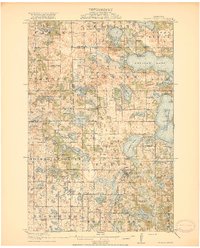
1913 · Fergus Falls
USGS Topo · 1:62,500

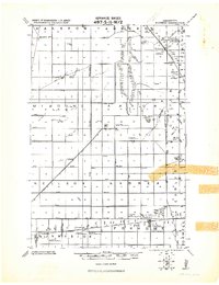
1914 · Pelican Rapids
USGS Topo · 1:62,500
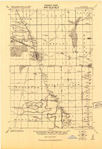
1917 · Pelican Rapids
USGS Topo · 1:62,500
1919 · Rothsay
USGS Topo · 1:62,500
1919 · Barnesville
USGS Topo · 1:62,500
1951 · Rothsay
USGS Topo · 1:62,500
1952 · Barnesville
USGS Topo · 1:62,500

1953 · Fargo
USGS Topo · 1:250,000

1956 · Fargo
USGS Topo · 1:250,000
1966 · Carlisle
USGS Topo · 1:24,000