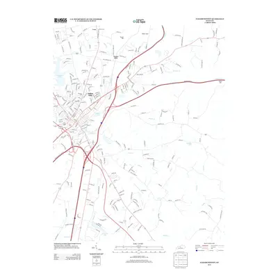
2013 Map of Elizabethtown
USGS Topo · Published 2013About this map
Indian Hills and the northern reaches of Elizabethtown anchor this landscape, reflecting the modern residential and commercial expansion of the early twenty-first century. The map reveals a high-density network of subdivisions and local roads like Evergreen Trl and Blue Grass Rd that weave around significant water bodies such as Freeman Lake and Buffalo Lake. The logistical importance of the area is underscored by the CSX Transportation rail line and the presence of the Oz Airport to the south.
Find a feature on this map
226 named features on this map. Tap any name to fly to it.
Don’t see what you’re looking for? This feature index may not catch every label — zoom into the map to look around manually.
Map Details
Editions of this 2013 Elizabethtown Map
This is the sole edition of this map. No revisions or reprints were ever made.
Other maps of this area

1935 · Elizabethtown
USGS Topo · 1:48,000

1936 · Vine Grove
USGS Topo · 1:62,500

1938 · Elizabethtown
USGS Topo · 1:62,500

1943 · Vine Grove
USGS Topo · 1:62,500

1946 · Colesburg
USGS Topo · 1:24,000

1946 · Vine Grove
USGS Topo · 1:24,000

1946 · Vine Grove
USGS Topo · 1:62,500

1948 · Cecilia
USGS Topo · 1:24,000

1949 · Sonora
USGS Topo · 1:24,000

1949 · Tonieville
USGS Topo · 1:24,000