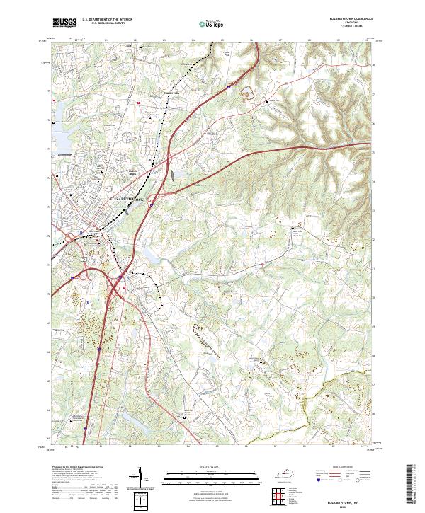
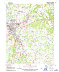
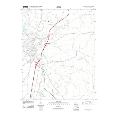
2022 Map of Elizabethtown
USGS Topo · Published 2022About this map
Elizabethtown serves as the focal point of this Hardin County survey, situated where the Paducah & Louisville RR and multiple major thoroughfares converge. The landscape is defined by the winding paths of Valley Creek and Buffalo Creek, which feed into local landmarks like Buffalo Lake and Freeman Lake. This modern record reveals a dense network of residential growth in neighborhoods such as Indian Hills and Tunnel Hills, contrasting with the more open terrain of Poplar Flats to the northeast.
Find a feature on this map
192 named features on this map. Tap any name to fly to it.
Don’t see what you’re looking for? This feature index may not catch every label — zoom into the map to look around manually.
Map Details
Editions of this 2022 Elizabethtown Map
This is the sole edition of this map. No revisions or reprints were ever made.
Historical Maps of Elizabethtown Through Time
13 maps found
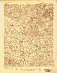
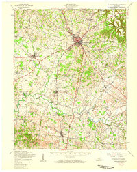
1935 Elizabethtown
Hardin County, KY
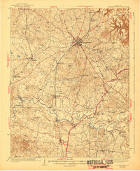
1938 Elizabethtown
Hardin County, KY
1949 Elizabethtown
Hardin County, KY
1949 Elizabethtown
Hardin County, KY
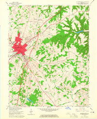
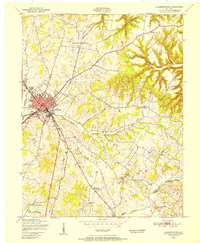
1960 Elizabethtown
Hardin County, KY
1967 Elizabethtown
Hardin County, KY

1981 Elizabethtown
Hardin County, KY
1991 Elizabethtown
Hardin County, KY
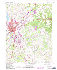
2010 Elizabethtown
Hardin County, KY
2013 Elizabethtown
Hardin County, KY
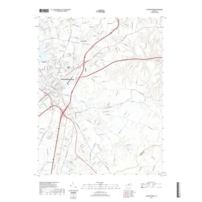
2016 Elizabethtown
Hardin County, KY
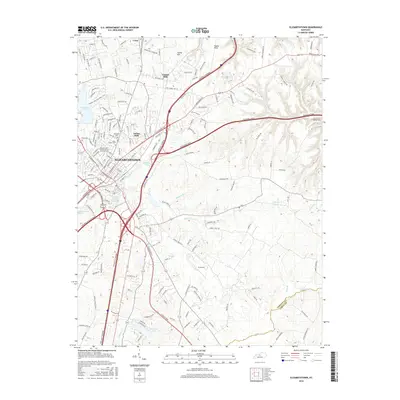
2019 Elizabethtown
Hardin County, KY
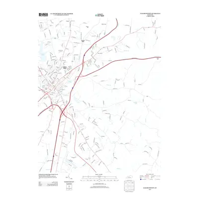
2022 Elizabethtown
Hardin County, KY