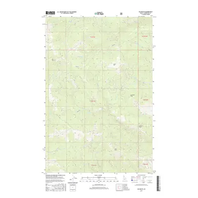
2017 Map of Elk Butte
USGS Topo · Published 2017About this map
Elk Butte dominates the northwestern landscape of this Clearwater County region, standing as a prominent high point in a terrain defined by steep ridges and an intricate drainage network. This area, documented in the early 21st century, exhibits a complex system of waterways including the Middle Fork Robinson Cr and Breakfast Cr that carve through the timbered uplands. The distribution of forestry access routes like Burma Rd and Aquarius Rd suggests a landscape shaped by active resource management and recreational access. Distinctive landforms such as Sourdough Ridge and Green Mtn provide clear orientation points for those studying the topography of the northern Idaho interior. The map also traces smaller tributaries like Bark Camp Cr and Elmberry Cr, which feed into larger drainages within the Clearwater River system.
Find a feature on this map
26 named features on this map. Tap any name to fly to it.
Don’t see what you’re looking for? This feature index may not catch every label — zoom into the map to look around manually.
Map Details
Editions of this 2017 Elk Butte Map
This is the sole edition of this map. No revisions or reprints were ever made.
Other maps of this area

1923 · Washington Creek
USGS Topo · 1:125,000

1936 · Boehls Butte
USGS Topo · 1:48,000

1938 · Headquarters
USGS Topo · 1:48,000

1943 · Boehls Butte
USGS Topo · 1:62,500

1944 · Headquarters
USGS Topo · 1:62,500

1955 · Pullman
USGS Topo · 1:250,000

1956 · Hamilton
USGS Topo · 1:250,000

1958 · Pullman
USGS Topo · 1:250,000

1959 · Hamilton
USGS Topo · 1:250,000

1960 · Hamilton
USGS Topo · 1:250,000