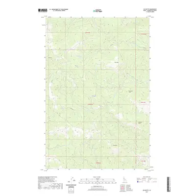
2020 Map of Elk Butte
USGS Topo · Published 2020About this map
Elk Butte stands as the prominent landmark of this high-elevation terrain in Clearwater County, part of a complex landscape defined by steep drainages and timbered ridges. The 2020 map documents a network of forest access routes including the aptly named Burma Rd, Elk Butte Rd, and Aquarius Rd, which wind through the township and range divisions of T40N and T41N. This area serves as a significant catchment for the North Fork Clearwater River basin, with numerous named waterways such as Breakfast Cr, Isabella Cr, and Bark Camp Cr carving deep into the mountainside.
Find a feature on this map
28 named features on this map. Tap any name to fly to it.
Don’t see what you’re looking for? This feature index may not catch every label — zoom into the map to look around manually.
Map Details
Editions of this 2020 Elk Butte Map
This is the sole edition of this map. No revisions or reprints were ever made.
Other maps of this area

1923 · Washington Creek
USGS Topo · 1:125,000

1936 · Boehls Butte
USGS Topo · 1:48,000

1938 · Headquarters
USGS Topo · 1:48,000

1943 · Boehls Butte
USGS Topo · 1:62,500

1944 · Headquarters
USGS Topo · 1:62,500

1955 · Pullman
USGS Topo · 1:250,000

1956 · Hamilton
USGS Topo · 1:250,000

1958 · Pullman
USGS Topo · 1:250,000

1959 · Hamilton
USGS Topo · 1:250,000

1960 · Hamilton
USGS Topo · 1:250,000