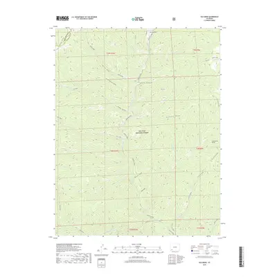
2019 Map of Elk Creek
USGS Topo · Published 2019About this map
San Juan National Forest defines the character of this high-altitude landscape where the Continental Divide skirts the eastern boundary. The map captures a complex drainage system centered on Hermosa Creek and its many tributaries, including S Fork Hermosa Cr, Deer Cr, and Salt Creek. These waterways carve through distinct terrain features like Blind Canyon, Entrance Draw, and the depressions of North Hole and South Hole.
Find a feature on this map
45 named features on this map. Tap any name to fly to it.
Don’t see what you’re looking for? This feature index may not catch every label — zoom into the map to look around manually.
Map Details
Editions of this 2019 Elk Creek Map
This is the sole edition of this map. No revisions or reprints were ever made.
Other maps of this area

1895 · La Plata
USGS Topo · 1:62,500

1897 · La Plata
USGS Topo · 1:62,500

1897 · Rico
USGS Topo · 1:62,500

1898 · Durango
USGS Topo · 1:62,500

1898 · Engineer Mountain
USGS Topo · 1:62,500

1898 · Rico
USGS Topo · 1:62,500

1899 · La Plata
USGS Topo · 1:62,500

1899 · Rico
USGS Topo · 1:62,500

1900 · Engineer Mountain
USGS Topo · 1:62,500

1907 · Durango
USGS Topo · 1:62,500