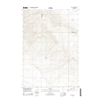
2014 Map of Elk Gulch
USGS Topo · Published 2014About this map
Benson Peak stands as a prominent landmark along the boundary of Beaverhead and Madison Counties in this high-altitude landscape. The terrain is defined by a series of deep drainages including Van Camp Canyon and Hoffman Gulch to the north, which give way to the broader Little Elk Gulch and Elk Gulch further south. These features reflect the complex geomorphology of southwest Montana, where water systems like Sweetwater Cr and Blacktail Deer Cr have carved distinct paths through the foothills.
Find a feature on this map
19 named features on this map. Tap any name to fly to it.
Don’t see what you’re looking for? This feature index may not catch every label — zoom into the map to look around manually.
Map Details
Editions of this 2014 Elk Gulch Map
This is the sole edition of this map. No revisions or reprints were ever made.
Other maps of this area

1893 · Dillon
USGS Topo · 1:250,000

1955 · Dubois
USGS Topo · 1:250,000

1955 · Dillon
USGS Topo · 1:250,000

1957 · Dillon
USGS Topo · 1:250,000

1958 · Dubois
USGS Topo · 1:250,000

1958 · Dillon
USGS Topo · 1:250,000

1961 · Mine Gulch
USGS Topo · 1:24,000

1961 · Christensen Ranch
USGS Topo · 1:24,000

1961 · Red Canyon
USGS Topo · 1:24,000

1961 · Ashbough Canyon
USGS Topo · 1:24,000