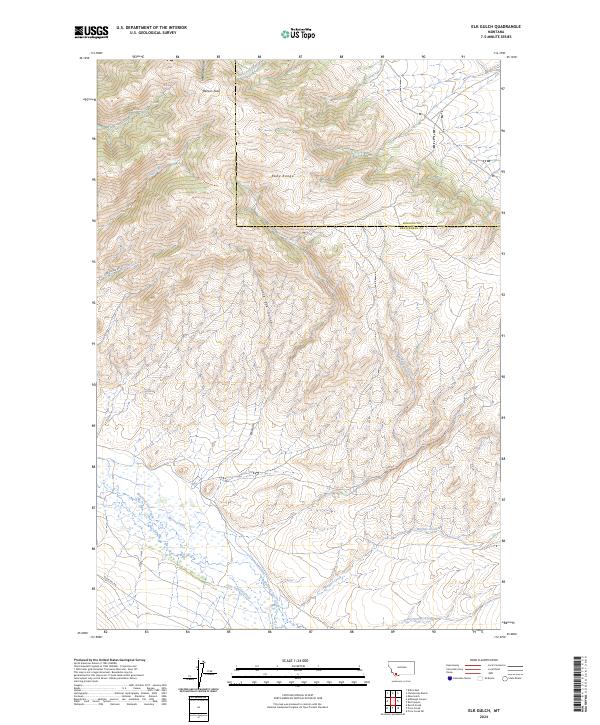
2024 Map of Elk Gulch
USGS Topo · Published 2024About this map
The Ruby Range anchors this high-elevation landscape along the border of Madison and Beaverhead Counties. Defined by a complex system of drainages, the area shows a distinct transition from the mountainous heights of Benson Peak down through narrow canyons like Elk Gulch and Hoffman Gulch. The southern portion of the sheet opens into the broader valley of Blacktail Deer Creek, where seasonal waters from Jake Canyon Creek and Moose Creek collect. This 2024 survey documents a territory largely defined by its natural topography rather than dense settlement, though Cabin Creek Rd and Blacktail Rd provide the primary access through the steep terrain. The mapping reveals the intricate watershed patterns that feed the larger creek systems, illustrating how the high peaks of the range dictate the flow of water across the county line.
Find a feature on this map
21 named features on this map. Tap any name to fly to it.
Don’t see what you’re looking for? This feature index may not catch every label — zoom into the map to look around manually.
Map Details
Editions of this 2024 Elk Gulch Map
This is the sole edition of this map. No revisions or reprints were ever made.
Other maps of this area

1893 · Dillon
USGS Topo · 1:250,000

1955 · Dubois
USGS Topo · 1:250,000

1955 · Dillon
USGS Topo · 1:250,000

1957 · Dillon
USGS Topo · 1:250,000

1958 · Dubois
USGS Topo · 1:250,000

1958 · Dillon
USGS Topo · 1:250,000

1961 · Mine Gulch
USGS Topo · 1:24,000

1961 · Christensen Ranch
USGS Topo · 1:24,000

1961 · Red Canyon
USGS Topo · 1:24,000

1961 · Ashbough Canyon
USGS Topo · 1:24,000