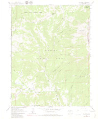
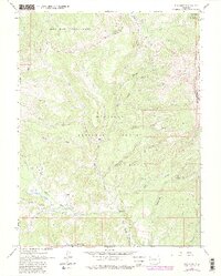
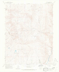
1963 Map of Elk Knob
USGS Topo · Published 1980About this map
Jones Park sits at the heart of this high-elevation mountain terrain within the Gunnison National Forest and White River National Forest. The landscape is defined by an intricate network of drainage systems, including East Muddy Creek and its many tributaries like Bainard Creek and Little Muddy Creek. This 1963 survey shows a region largely preserved for wilderness and resource management, dominated by steep ridgelines like Huntsman Ridge and peaks such as Elk Knob.
Find a feature on this map
39 named features on this map. Tap any name to fly to it.
Don’t see what you’re looking for? This feature index may not catch every label — zoom into the map to look around manually.
Map Details
Editions of this 1963 Elk Knob Map
5 editions found
Other maps of this area

1957 · Leadville
USGS Topo · 1:250,000

1959 · Leadville
USGS Topo · 1:250,000

1960 · Leadville
USGS Topo · 1:250,000

1961 · Electric Mountain
USGS Topo · 1:24,000

1961 · Spruce Mountain
USGS Topo · 1:24,000

1962 · Leadville
USGS Topo · 1:250,000
1963 · Chair Mountain
USGS Topo · 1:24,000
1963 · Flatiron Mountain
USGS Topo · 1:24,000
1963 · Bull Mountain
USGS Topo · 1:24,000
1963 · Placita
USGS Topo · 1:24,000