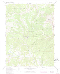
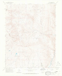
1963 Map of Elk Knob
USGS Topo · Published 1984About this map
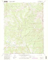
Jones Park and the high basins of the western Colorado Rockies define this high-altitude landscape where the borders of Gunnison, Delta, Mesa, and Pitkin counties converge. This 1963 survey captures a wilderness infrastructure of Pack Trails and Jeep Trails that provided access to remote homesteads and survey points. Sparse human settlements like Tolan Place and Olson Place are shown alongside a Gaging Sta on the North Fork Muddy Creek, indicating the region's importance for water management and transit even before modern development. The terrain is dominated by the dramatic elevation of Huntsman Ridge and the namesake Elk Knob, with a complex network of drainages including Stove Basin and Clear Fork Basin feeding into the Muddy Creek system. The map documents the overlap of the White River National Forest and Gunnison National Forest, illustrating how early federal land management shaped the preservation of these headwaters.
Find a feature on this map
44 named features on this map. Tap any name to fly to it.
Don’t see what you’re looking for? This feature index may not catch every label — zoom into the map to look around manually.
Map Details
Editions of this 1963 Elk Knob Map
5 editions found
Other maps of this area

1957 · Leadville
USGS Topo · 1:250,000

1959 · Leadville
USGS Topo · 1:250,000

1960 · Leadville
USGS Topo · 1:250,000

1961 · Electric Mountain
USGS Topo · 1:24,000

1961 · Spruce Mountain
USGS Topo · 1:24,000

1962 · Leadville
USGS Topo · 1:250,000
1963 · Chair Mountain
USGS Topo · 1:24,000
1963 · Flatiron Mountain
USGS Topo · 1:24,000
1963 · Bull Mountain
USGS Topo · 1:24,000
1963 · Placita
USGS Topo · 1:24,000