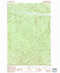
1983 Map of Elk Mountain
USGS Topo · Published 1994About this map
The South Fork Toutle River winds through this portion of the Washington-Cowlitz county line, reflecting a landscape defined by industrial extraction and high-elevation landmarks. Surveyed in the early 1980s, the map documents numerous resource sites, including a Quarry, Gravel Pit, and several locations labeled Borrow Pit, indicating significant earthwork and road maintenance in the area. At the northern edge, a Gaging Station monitors the river's flow near the historical Herrington Place (Site).
Find a feature on this map
23 named features on this map. Tap any name to fly to it.
Don’t see what you’re looking for? This feature index may not catch every label — zoom into the map to look around manually.
Map Details
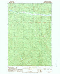
Editions of this 1983 Elk Mountain Map
2 editions found
Other maps of this area

1919 · Mount St Helens
USGS Topo · 1:125,000

1942 · Toutle
USGS Topo · 1:62,500

1943 · Pigeon Springs
USGS Topo · 1:62,500

1953 · Hoquiam
USGS Topo · 1:250,000

1953 · Toutle
USGS Topo · 1:62,500

1953 · Pigeon Springs
USGS Topo · 1:62,500

1953 · Cougar
USGS Topo · 1:62,500

1953 · Elk Rock
USGS Topo · 1:62,500

1957 · Hoquiam
USGS Topo · 1:250,000

1958 · Hoquiam
USGS Topo · 1:250,000