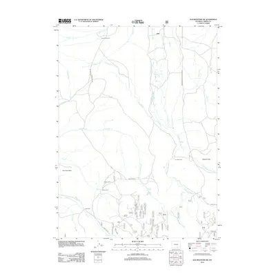
2012 Map of Elk Mountain SW
USGS Topo · Published 2012About this map
Milo stands as a primary point of reference in this high-plains landscape of Carbon County, where the management of water is central to the area's identity. The complex irrigation network, featuring the Highland Ditch, Alpha Ditch, and Haglund Ditch, illustrates a long-standing history of ranching and water rights in the arid West. Family-named properties such as Cheesbrough Ranch, Johnson Ranch, and Palm Ranch are distributed across the drainage basins of the Medicine Bow River and Pass Cr. The topography is marked by significant natural landmarks like the Sederlin Slide and the broad Pass Creek Basin. This area reflects the mid-20th-century transition of the Wyoming range, where traditional land use continues alongside modern forest management, evidenced by the network of Forest Road 261 and Forest Rd 101 threading through the southern foothills.
Find a feature on this map
45 named features on this map. Tap any name to fly to it.
Don’t see what you’re looking for? This feature index may not catch every label — zoom into the map to look around manually.
Map Details
Editions of this 2012 Elk Mountain SW Map
This is the sole edition of this map. No revisions or reprints were ever made.
Other maps of this area

1893 · Fort Steele
USGS Topo · 1:125,000

1906 · Medicine Bow
USGS Topo · 1:125,000

1908 · Medicine Bow
USGS Topo · 1:125,000

1939 · Saratoga
USGS Topo · 1:125,000

1954 · Rawlins
USGS Topo · 1:250,000

1955 · Elk Mountain
USGS Topo · 1:24,000

1955 · Elk Mountain SW
USGS Topo · 1:24,000

1955 · Rattlesnake Pass
USGS Topo · 1:24,000

1955 · Coad Mountain
USGS Topo · 1:24,000

1958 · Rawlins
USGS Topo · 1:250,000