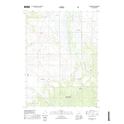
2017 Map of Elk Mountain SW
USGS Topo · Published 2017About this map
Medicine Bow National Forest dominates the southern reaches of this landscape, where the high elevations of the Medicine Bow Mountains descend toward the Pass Creek Basin. This 2017 survey reveals a complex network of water management features, including the Highland Ditch, Tableland Ditch, and School Section Ditch, which redirect water across the high plains to support local agriculture and ranching operations like those found along Basin Ranch Rd. The Medicine Bow River and its Fork Medicine Bow River wind through the eastern section, creating a riparian corridor alongside the Sederlin Slide. Transportation in this portion of Carbon County is defined by a mix of forest routes and county roads, such as Co Rd 404 and the Medicine Bow Ranger Station Rd, which facilitate access to the timber and grazing lands that have long defined the regional economy.
Find a feature on this map
38 named features on this map. Tap any name to fly to it.
Don’t see what you’re looking for? This feature index may not catch every label — zoom into the map to look around manually.
Map Details
Editions of this 2017 Elk Mountain SW Map
This is the sole edition of this map. No revisions or reprints were ever made.
Other maps of this area

1893 · Fort Steele
USGS Topo · 1:125,000

1906 · Medicine Bow
USGS Topo · 1:125,000

1908 · Medicine Bow
USGS Topo · 1:125,000

1939 · Saratoga
USGS Topo · 1:125,000

1954 · Rawlins
USGS Topo · 1:250,000

1955 · Elk Mountain
USGS Topo · 1:24,000

1955 · Elk Mountain SW
USGS Topo · 1:24,000

1955 · Rattlesnake Pass
USGS Topo · 1:24,000

1955 · Coad Mountain
USGS Topo · 1:24,000

1958 · Rawlins
USGS Topo · 1:250,000