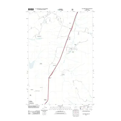
2011 Map of Elk Park Pass
USGS Topo · Published 2011About this map
Elk Park Pass serves as a critical geographic waypoint on this 2011 map of the Butte area, where the valley floor meets the heights of Rampart Mountain. The landscape is a transition between the industrial edge of the city and the high-elevation meadows of Elk Park. Small settlements like Trask and Woodville are situated along the valley floor, while infrastructure such as the Elk Park Fire Hall and the Monitor Tunnel highlight the utility and protection required for these mountain communities.
Find a feature on this map
39 named features on this map. Tap any name to fly to it.
Don’t see what you’re looking for? This feature index may not catch every label — zoom into the map to look around manually.
Map Details
Editions of this 2011 Elk Park Pass Map
This is the sole edition of this map. No revisions or reprints were ever made.
Other maps of this area

1889 · Helena
USGS Topo · 1:250,000

1893 · Helena
USGS Topo · 1:250,000

1893 · Dillon
USGS Topo · 1:250,000

1899 · Boulder
USGS Topo · 1:125,000

1899 · Helena
USGS Topo · 1:250,000

1903 · Helena
USGS Topo · 1:250,000

1947 · Butte
USGS Topo · 1:250,000

1954 · Elk Park
USGS Topo · 1:62,500

1955 · Dillon
USGS Topo · 1:250,000

1957 · Dillon
USGS Topo · 1:250,000