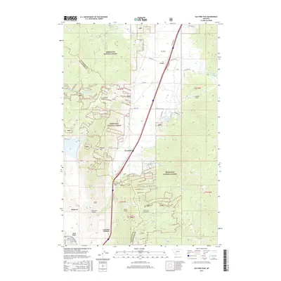
2017 Map of Elk Park Pass
USGS Topo · Published 2017About this map
Deerlodge National Forest dominates this landscape where the Continental Divide separates the headwaters of the Clark Fork and Missouri River basins. In the southwestern corner, the urban edge of East Butte and McQueen gives way to the once-vibrant Columbia Gardens area and the industrial legacy of the Monitor Tunnel. The map traces the critical transportation corridor climbing through Elk Park Pass, where the landscape transitions from the developed streets of Silver Bow County into the broad, high-elevation meadow of Elk Park. Scattered settlements like Trask and Woodville sit along this route, while the surrounding peaks, including Rampart Mtn, are drained by systems like Bison Cr and Lowland Cr. Resource management is evident through features such as the Moulton Reservoir Number 2 and the Columbia Gardens Water Supply, supporting the region's historical growth.
Find a feature on this map
50 named features on this map. Tap any name to fly to it.
Don’t see what you’re looking for? This feature index may not catch every label — zoom into the map to look around manually.
Map Details
Editions of this 2017 Elk Park Pass Map
This is the sole edition of this map. No revisions or reprints were ever made.
Other maps of this area

1889 · Helena
USGS Topo · 1:250,000

1893 · Helena
USGS Topo · 1:250,000

1893 · Dillon
USGS Topo · 1:250,000

1899 · Boulder
USGS Topo · 1:125,000

1899 · Helena
USGS Topo · 1:250,000

1903 · Helena
USGS Topo · 1:250,000

1947 · Butte
USGS Topo · 1:250,000

1954 · Elk Park
USGS Topo · 1:62,500

1955 · Dillon
USGS Topo · 1:250,000

1957 · Dillon
USGS Topo · 1:250,000