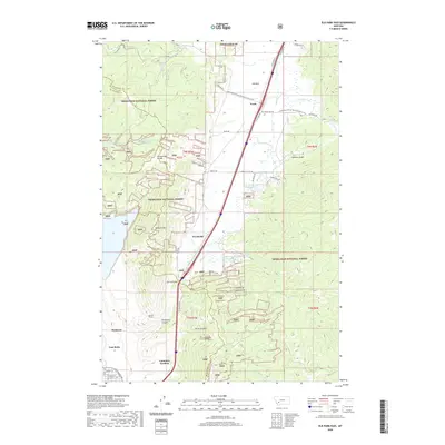
2020 Map of Elk Park Pass
USGS Topo · Published 2020About this map
The Continental Divide winds through the high country north of Butte, defining a landscape shaped by mining heritage and water management within the Deerlodge National Forest. At the southern edge of the quadrangle, the historic influence of the mining industry is evident near East Butte and the residential area of McQueen. The site of Columbia Gardens and its associated Columbia Gardens Water Supply represent a significant local landmark, once a premier destination for recreation in the region.
Find a feature on this map
48 named features on this map. Tap any name to fly to it.
Don’t see what you’re looking for? This feature index may not catch every label — zoom into the map to look around manually.
Map Details
Editions of this 2020 Elk Park Pass Map
This is the sole edition of this map. No revisions or reprints were ever made.
Other maps of this area

1889 · Helena
USGS Topo · 1:250,000

1893 · Helena
USGS Topo · 1:250,000

1893 · Dillon
USGS Topo · 1:250,000

1899 · Boulder
USGS Topo · 1:125,000

1899 · Helena
USGS Topo · 1:250,000

1903 · Helena
USGS Topo · 1:250,000

1947 · Butte
USGS Topo · 1:250,000

1954 · Elk Park
USGS Topo · 1:62,500

1955 · Dillon
USGS Topo · 1:250,000

1957 · Dillon
USGS Topo · 1:250,000