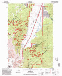
1996 Map of Elk Park Pass
USGS Topo · Published 1998About this map
Rampart Mountain and the high ridge of the Continental Divide dominate this 1990s terrain on the edge of the Jefferson Silver Bow line. The landscape reflects a complex history of resource extraction and religious devotion, most notably featuring the site of Our Lady of the Rockies overlooking the valley below. The transition from industrial activity to forest management is evident in the numerous prospects and mine dumps scattered throughout the Deerlodge National Forest, while the presence of a Tailings Pond near the Woodville Canyon marks the footprint of heavy mining operations.
Find a feature on this map
38 named features on this map. Tap any name to fly to it.
Don’t see what you’re looking for? This feature index may not catch every label — zoom into the map to look around manually.
Map Details
Editions of this 1996 Elk Park Pass Map
This is the sole edition of this map. No revisions or reprints were ever made.
Other maps of this area

1889 · Helena
USGS Topo · 1:250,000

1893 · Helena
USGS Topo · 1:250,000

1893 · Dillon
USGS Topo · 1:250,000

1899 · Boulder
USGS Topo · 1:125,000

1899 · Helena
USGS Topo · 1:250,000

1903 · Helena
USGS Topo · 1:250,000

1947 · Butte
USGS Topo · 1:250,000

1954 · Elk Park
USGS Topo · 1:62,500

1955 · Dillon
USGS Topo · 1:250,000

1957 · Dillon
USGS Topo · 1:250,000