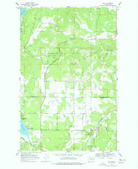
1968 Map of Elk
USGS Topo · Published 1977About this map
Pend Oreille State Park dominates the northern landscape of this survey, where the terrain transitions from the heights of Bare Mountain and Rogers Pass down into Shadow Valley. The settlement of Elk serves as a local hub near the southern border, positioned along the Burlington Northern railroad line and the Little Spokane River. This area shows a mix of recreational and agricultural land use, with numerous camps like Camp Joubert and Camp Hager situated near water sources and valley floors.
Find a feature on this map
47 named features on this map. Tap any name to fly to it.
Don’t see what you’re looking for? This feature index may not catch every label — zoom into the map to look around manually.
Map Details
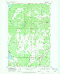
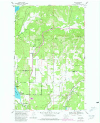
Editions of this 1968 Elk Map
Other maps of this area

1901 · Spokane
USGS Topo · 1:125,000

1936 · Newport
USGS Topo · 1:96,000

1942 · Newport
USGS Topo · 1:125,000

1943 · Mt Spokane
USGS Topo · 1:62,500

1949 · Deer Park
USGS Topo · 1:62,500

1950 · Mt Spokane
USGS Topo · 1:62,500

1951 · Deer Park
USGS Topo · 1:62,500

1955 · Spokane
USGS Topo · 1:250,000

1958 · Spokane
USGS Topo · 1:250,000

1958 · Sandpoint
USGS Topo · 1:250,000