
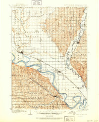
1907 Map of Elk Point
USGS Topo · Published 1907About this map
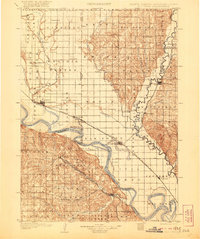
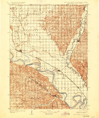
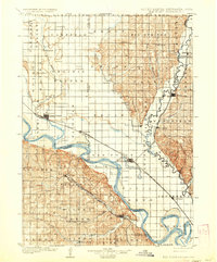
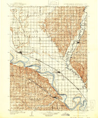
The Missouri River and Big Sioux River converge in this 1907 survey, marking the intersection of South Dakota, Nebraska, and Iowa. The landscape is defined by the shifting waters and bottomlands of the Missouri, where river crossings like Vermilion Ferry, Ionia Ferry, and Ponca Ferry provided essential transport before widespread bridge construction. Elk Point serves as a significant rail hub, situated where the Chicago Milwaukee and St. Paul Ry. cuts across the fertile flats.
Find a feature on this map
69 named features on this map. Tap any name to fly to it.
Don’t see what you’re looking for? This feature index may not catch every label — zoom into the map to look around manually.
Map Details
Editions of this 1907 Elk Point Map
6 editions found
Other maps of this area

1897 · Canton
USGS Topo · 1:125,000

1898 · Parker
USGS Topo · 1:125,000

1898 · Elk Point
USGS Topo · 1:125,000

1900 · Canton
USGS Topo · 1:125,000

1901 · Elk Point
USGS Topo · 1:125,000

1955 · Sioux City
USGS Topo · 1:250,000

1955 · Sioux Falls
USGS Topo · 1:250,000

1958 · Sioux City
USGS Topo · 1:250,000

1958 · Sioux Falls
USGS Topo · 1:250,000

1959 · Sioux City
USGS Topo · 1:250,000