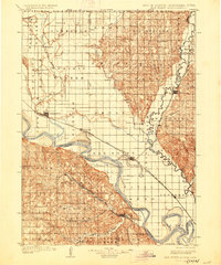
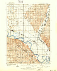
1907 Map of Elk Point
USGS Topo · Published 1927About this map
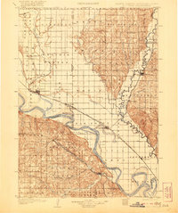
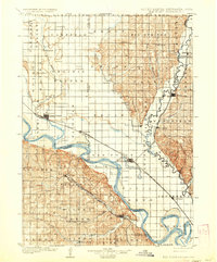
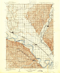
The Missouri River and Big Sioux River converge at the heart of this regional study, which documents the tri-state landscape of South Dakota, Nebraska, and Iowa. At the turn of the century, the river systems were vital corridors of movement, marked by the Vermilion Ferry, Ionia Ferry, and Ponca Ferry providing essential crossings before permanent bridges dominated the region. The settlement of Elk Point serves as a central hub, where the Chicago Milwaukee and St. Paul railroad lines intersect, facilitating the agricultural growth of Pleasant Valley and the Sioux Valley. From the prominent landmark of Spirit Mound in the northwest to the oxbows of Lake Goodenough in the southeast, the map captures a landscape defined by its waterways. Smaller settlements like Newcastle, Jefferson, and Akron appear alongside numerous rural post offices and township boundaries, offering a detailed record of the frontier's transition into an established rail-and-river economy.
Find a feature on this map
61 named features on this map. Tap any name to fly to it.
Don’t see what you’re looking for? This feature index may not catch every label — zoom into the map to look around manually.
Map Details
Editions of this 1907 Elk Point Map
6 editions found
Other maps of this area

1897 · Canton
USGS Topo · 1:125,000

1898 · Parker
USGS Topo · 1:125,000

1898 · Elk Point
USGS Topo · 1:125,000

1900 · Canton
USGS Topo · 1:125,000

1901 · Elk Point
USGS Topo · 1:125,000

1907 · Elk Point
USGS Topo · 1:125,000

1955 · Sioux City
USGS Topo · 1:250,000

1955 · Sioux Falls
USGS Topo · 1:250,000

1958 · Sioux City
USGS Topo · 1:250,000

1958 · Sioux Falls
USGS Topo · 1:250,000