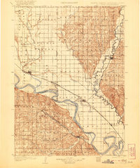
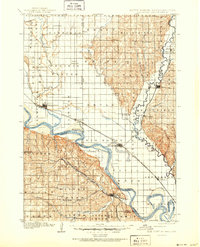
1907 Map of Elk Point
USGS Topo · Published 1921About this map
The Missouri River and its major tributaries, the Vermilion River and Big Sioux River, dominate this tri-state landscape where South Dakota, Nebraska, and Iowa converge. Before the era of modern bridges, water transit remained vital to the local economy, as evidenced by the Vermilion Ferry and Ponca Ferry. The landscape is a mix of flat river bottoms like Pleasant Valley and the sharp relief of the Hooker and Newcastle regions in Nebraska.
Find a feature on this map
60 named features on this map. Tap any name to fly to it.
Don’t see what you’re looking for? This feature index may not catch every label — zoom into the map to look around manually.
Map Details
Editions of this 1907 Elk Point Map
6 editions found
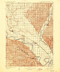
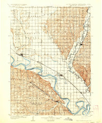
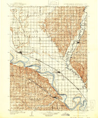
Other maps of this area

1897 · Canton
USGS Topo · 1:125,000

1898 · Parker
USGS Topo · 1:125,000

1898 · Elk Point
USGS Topo · 1:125,000

1900 · Canton
USGS Topo · 1:125,000

1901 · Elk Point
USGS Topo · 1:125,000

1907 · Elk Point
USGS Topo · 1:125,000

1955 · Sioux City
USGS Topo · 1:250,000

1955 · Sioux Falls
USGS Topo · 1:250,000

1958 · Sioux City
USGS Topo · 1:250,000

1958 · Sioux Falls
USGS Topo · 1:250,000