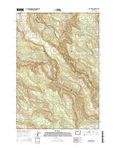
2014 Map of Elk Prairie
USGS Topo · Published 2014About this map
Butte Creek carves a winding path along the border of Clackamas and Marion counties, defining a landscape of dramatic elevation changes and numerous cataracts. This 2014 survey reveals a region defined by its hydrology, featuring notable landmarks such as Abiqua Falls, Butte Creek Falls, and Upper North Falls. The presence of Holy Rosary Cem in the northwest corner near Ettlin Loop provides a specific point of interest for genealogists tracing local families.
Find a feature on this map
51 named features on this map. Tap any name to fly to it.
Don’t see what you’re looking for? This feature index may not catch every label — zoom into the map to look around manually.
Map Details
Editions of this 2014 Elk Prairie Map
This is the sole edition of this map. No revisions or reprints were ever made.
Other maps of this area
1916 · Estacada
USGS Topo · 1:125,000
1929 · Mill City
USGS Topo · 1:125,000
1939 · Molalla
USGS Topo · 1:62,500
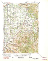
1940 · Molalla
USGS Topo · 1:62,500
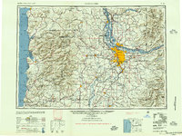
1948 · Vancouver
USGS Topo · 1:250,000
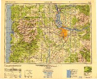
1950 · Vancouver
USGS Topo · 1:250,000
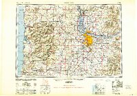
1950 · Vancouver
USGS Topo · 1:250,000
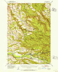
1951 · Lyons
USGS Topo · 1:62,500
1953 · Salem
USGS Topo · 1:250,000
1954 · Salem
USGS Topo · 1:250,000