
1953 Map of Elk Rock
USGS Topo · Published 1958About this map
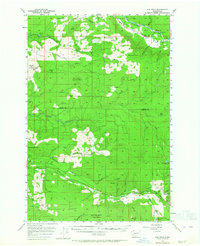
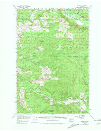
Green Mountain and the Green Mountain Range dominate this 1950s landscape, a region defined by industrial logging and the drainage basins of the Cowlitz and Toutle Rivers. Logging operations are evident through the network of Railroad spurs and established base camps such as Camp 9, Camp 10, and Camp Baker. The northern reaches include the Swofford Valley and the settlement of Nesika along the Cowlitz River, while the southern portion is bisected by the Spirit Lake Highway following the North Fork Toutle River. Notable landmarks such as the Elk Rock Lookout and the Shingle Mill on Winston Creek illustrate the era's focus on resource extraction and fire surveillance. This survey documents the topography of the Mount St. Helens vicinity decades before the 1980 eruption dramatically altered these river valleys.
Find a feature on this map
53 named features on this map. Tap any name to fly to it.
Don’t see what you’re looking for? This feature index may not catch every label — zoom into the map to look around manually.
Map Details
Editions of this 1953 Elk Rock Map
Other maps of this area

1916 · Chehalis
USGS Topo · 1:125,000

1919 · Mount St Helens
USGS Topo · 1:125,000

1937 · Eatonville
USGS Topo · 1:125,000

1942 · Toutle
USGS Topo · 1:62,500

1943 · Willapa
USGS Topo · 1:62,500

1943 · Pigeon Springs
USGS Topo · 1:62,500

1953 · Hoquiam
USGS Topo · 1:250,000

1953 · Toutle
USGS Topo · 1:62,500

1953 · Pigeon Springs
USGS Topo · 1:62,500

1953 · Cougar
USGS Topo · 1:62,500