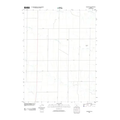
2009 Map of Elkader NE
USGS Topo · Published 2009About this map
The Logan County high plains are defined by a rhythmic grid of rural roads and the meandering drainage of the Hackberry Creek system. In the early twenty-first century, this landscape remains primarily agricultural, punctuated by private landing strips including Evans Airport and Stevenson Airport. The terrain is etched by the Middle Branch Hackberry Creek, South Branch Hackberry Creek, and Plum Creek, which create natural breaks in the rectangular sections. Local naming conventions are visible through road designations such as Topeka, Plains, and Navajo, reflecting a systematic organization of the prairie. The presence of Highway 83 on the western edge provides a primary transit link through this sparsely populated reach of western Kansas, where the survey details the subtle elevation changes of the open plains.
Find a feature on this map
18 named features on this map. Tap any name to fly to it.
Don’t see what you’re looking for? This feature index may not catch every label — zoom into the map to look around manually.
Map Details
Editions of this 2009 Elkader NE Map
This is the sole edition of this map. No revisions or reprints were ever made.
Other maps of this area

1954 · Goodland
USGS Topo · 1:250,000

1955 · Scott City
USGS Topo · 1:250,000

1956 · Goodland
USGS Topo · 1:250,000

1957 · Goodland
USGS Topo · 1:250,000

1958 · Scott City
USGS Topo · 1:250,000

1972 · Elkader NW
USGS Topo · 1:24,000

1972 · Orion
USGS Topo · 1:24,000

1972 · Elkader NE
USGS Topo · 1:24,000

1974 · Elkader SW
USGS Topo · 1:24,000

1974 · Elkader
USGS Topo · 1:24,000