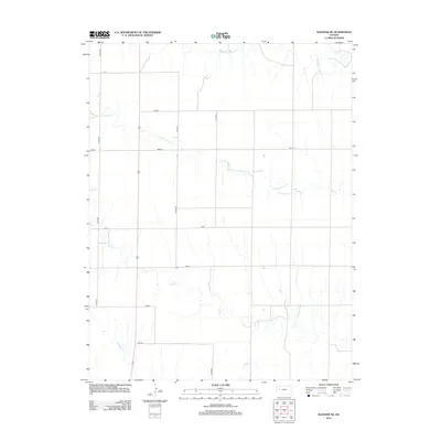
2012 Map of Elkader NE
USGS Topo · Published 2012About this map
The High Plains landscape of Logan County is defined by a rigorous grid of section roads and the meandering drainage patterns of the Smoky Hill River watershed. Tributaries such as Middle Br Hackberry Cr and S Br Hackberry Cr cut across the northern reaches of the quadrangle, while the southern portion is marked by the course of Plum Cr. This 2012 survey illustrates the enduring nature of the township-and-range surveying system, where arterial routes like Co Rd-430 and Co Rd-450 facilitate movement across the agricultural expanse. The naming conventions of the secondary roads, including Topeka, Seneca, and Osage, reflect regional cultural and tribal identities. While largely devoid of dense residential settlements, the map provides a precise layout of rural transit and the sparse hydrology essential to this portion of western Kansas.
Find a feature on this map
14 named features on this map. Tap any name to fly to it.
Don’t see what you’re looking for? This feature index may not catch every label — zoom into the map to look around manually.
Map Details
Editions of this 2012 Elkader NE Map
This is the sole edition of this map. No revisions or reprints were ever made.
Other maps of this area

1954 · Goodland
USGS Topo · 1:250,000

1955 · Scott City
USGS Topo · 1:250,000

1956 · Goodland
USGS Topo · 1:250,000

1957 · Goodland
USGS Topo · 1:250,000

1958 · Scott City
USGS Topo · 1:250,000

1972 · Elkader NW
USGS Topo · 1:24,000

1972 · Orion
USGS Topo · 1:24,000

1972 · Elkader NE
USGS Topo · 1:24,000

1974 · Elkader SW
USGS Topo · 1:24,000

1974 · Elkader
USGS Topo · 1:24,000