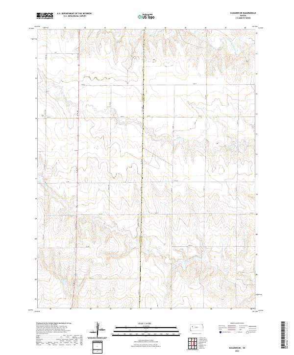
2022 Map of Elkader NE
USGS Topo · Published 2022About this map
The High Plains of Western Kansas are defined here by a series of dramatic drainage patterns, where the headwaters of S Br Hackberry Cr and its tributaries have carved deep, winding valleys into the plateau. This 2022 survey captures the border between Logan and Gove counties, a landscape predominantly organized around a grid of rural county roads such as Co RD 440 and Co RD 460.
Find a feature on this map
29 named features on this map. Tap any name to fly to it.
Don’t see what you’re looking for? This feature index may not catch every label — zoom into the map to look around manually.
Map Details
Editions of this 2022 Elkader NE Map
This is the sole edition of this map. No revisions or reprints were ever made.
Other maps of this area

1954 · Goodland
USGS Topo · 1:250,000

1955 · Scott City
USGS Topo · 1:250,000

1956 · Goodland
USGS Topo · 1:250,000

1957 · Goodland
USGS Topo · 1:250,000

1958 · Scott City
USGS Topo · 1:250,000

1972 · Elkader NW
USGS Topo · 1:24,000

1972 · Orion
USGS Topo · 1:24,000

1972 · Elkader NE
USGS Topo · 1:24,000

1974 · Elkader SW
USGS Topo · 1:24,000

1974 · Elkader
USGS Topo · 1:24,000