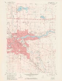
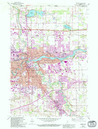
1961 Map of Elkhart
USGS Topo · Published 1964About this map
The confluence of the St Joseph River and the Elkhart River forms the industrial and social heart of Elkhart during this early 1960s survey. The city's residential growth is evident in established and emerging neighborhoods like Greenleaf Manor and Garden Village, while the southern corridor toward Dunlap shows a landscape increasingly shaped by automotive and rail infrastructure. Transport is a defining theme, from the established New York Central railroad lines to the modern Indiana East-West Toll Road cutting across the northern township.
Find a feature on this map
54 named features on this map. Tap any name to fly to it.
Don’t see what you’re looking for? This feature index may not catch every label — zoom into the map to look around manually.
Map Details
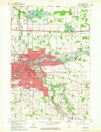
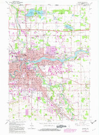
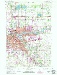
Editions of this 1961 Elkhart Map
5 editions found
Other maps of this area

1945 · Cassopolis
USGS Topo · 1:62,500

1947 · Cassopolis
USGS Topo · 1:62,500

1948 · Vandalia
USGS Topo · 1:62,500

1949 · Vandalia
USGS Topo · 1:62,500

1953 · Fort Wayne
USGS Topo · 1:250,000

1953 · Chicago
USGS Topo · 1:250,000

1956 · Fort Wayne
USGS Topo · 1:250,000

1957 · Chicago
USGS Topo · 1:250,000

1958 · Osceola
USGS Topo · 1:24,000

1959 · Goshen
USGS Topo · 1:24,000