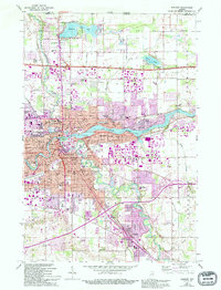
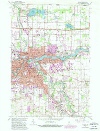
1961 Map of Elkhart
USGS Topo · Published 1994About this map
The confluence of the St Joseph River and Elkhart River defines the urban core of Elkhart, showing a mid-century manufacturing and transit hub in a state of expansion. This 1961 survey, updated with 1990s revisions, illustrates the dense network of neighborhood schools like Beardsley Sch and Roosevelt Sch that anchored the city's residential blocks. Outside the main city center, planned developments such as Greenleaf Manor and Garden Village reflect the post-war suburban shift.
Find a feature on this map
63 named features on this map. Tap any name to fly to it.
Don’t see what you’re looking for? This feature index may not catch every label — zoom into the map to look around manually.
Map Details
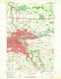
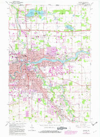
Editions of this 1961 Elkhart Map
5 editions found
Other maps of this area

1945 · Cassopolis
USGS Topo · 1:62,500

1947 · Cassopolis
USGS Topo · 1:62,500

1948 · Vandalia
USGS Topo · 1:62,500

1949 · Vandalia
USGS Topo · 1:62,500

1953 · Fort Wayne
USGS Topo · 1:250,000

1953 · Chicago
USGS Topo · 1:250,000

1956 · Fort Wayne
USGS Topo · 1:250,000

1957 · Chicago
USGS Topo · 1:250,000

1958 · Osceola
USGS Topo · 1:24,000

1959 · Goshen
USGS Topo · 1:24,000