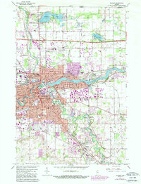
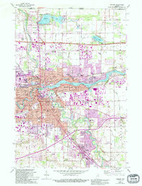
1961 Map of Elkhart
USGS Topo · Published 1989About this map
Elkhart sits at the vital confluence where the Elkhart River meets the St Joseph River, a geography that shaped its industrial and urban growth. By the early 1960s, the city's residential footprint was expanding rapidly through neighborhoods like Greenleaf Manor and East Lake Estates, while the Indiana East-West Toll Road established a modern transit corridor north of the city center. This survey captures a transition in transportation, showing the Conrail lines alongside the developing Elkhart Municipal Airport.
Find a feature on this map
70 named features on this map. Tap any name to fly to it.
Don’t see what you’re looking for? This feature index may not catch every label — zoom into the map to look around manually.
Map Details
Editions of this 1961 Elkhart Map
5 editions found
Other maps of this area

1945 · Cassopolis
USGS Topo · 1:62,500

1947 · Cassopolis
USGS Topo · 1:62,500

1948 · Vandalia
USGS Topo · 1:62,500

1949 · Vandalia
USGS Topo · 1:62,500

1953 · Fort Wayne
USGS Topo · 1:250,000

1953 · Chicago
USGS Topo · 1:250,000

1956 · Fort Wayne
USGS Topo · 1:250,000

1957 · Chicago
USGS Topo · 1:250,000

1958 · Osceola
USGS Topo · 1:24,000

1959 · Goshen
USGS Topo · 1:24,000