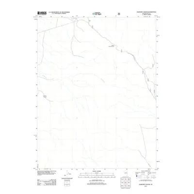
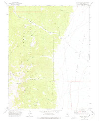
2012 Map of Elkhorn Canyon
USGS Topo · Published 2012About this map
Elkhorn Canyon defines the drainage patterns of this high-elevation landscape in Nye County, where seasonal watercourses like Wattles Creek carve through the basin and range terrain. The area is largely shaped by its management as national forest land, with access provided by a network of forest service routes including Natl Forest Develop Road 324 Rd and Nfd 005 Rd. These roads suggest the primary human footprint in the region is tied to land management, recreation, and perhaps historical grazing. Barley Creek Summit stands as a notable geographical marker along these routes, illustrating the significant elevation changes that characterize this interior Nevada environment. The sparse distribution of named features emphasizes the wilderness quality of the territory during this 2012 survey.
Find a feature on this map
6 named features on this map. Tap any name to fly to it.
Don’t see what you’re looking for? This feature index may not catch every label — zoom into the map to look around manually.
Map Details
Editions of this 2012 Elkhorn Canyon Map
This is the sole edition of this map. No revisions or reprints were ever made.
Other maps of this area

1956 · Tonopah
USGS Topo · 1:250,000

1959 · Tonopah
USGS Topo · 1:250,000

1962 · Tonopah
USGS Topo · 1:250,000

1971 · Belmont East
USGS Topo · 1:24,000

1971 · Corcoran Canyon
USGS Topo · 1:24,000
1971 · McIntyre Summit
USGS Topo · 1:24,000

1971 · Barley Creek
USGS Topo · 1:24,000
1971 · Elkhorn Canyon
USGS Topo · 1:24,000
1971 · Green Monster Canyon
USGS Topo · 1:24,000
1971 · McCann Canyon
USGS Topo · 1:24,000