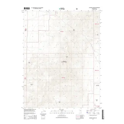
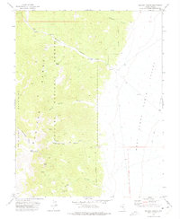
2014 Map of Elkhorn Canyon
USGS Topo · Published 2014About this map
Toiyabe National Forest dominates this high-elevation landscape in the heart of Nye County, where the Monitor Range divides distinct desert basins. The terrain is defined by a series of dramatic drainages including Elkhorn Canyon, White Rock Canyon, and Wildcat Canyon, which channel seasonal water from the heights down toward the arid lowlands. To the north, Barley Creek Summit stands as a prominent landmark overlooking the transition between the Monitor Valley and the neighboring eastern canyons.
Find a feature on this map
21 named features on this map. Tap any name to fly to it.
Don’t see what you’re looking for? This feature index may not catch every label — zoom into the map to look around manually.
Map Details
Editions of this 2014 Elkhorn Canyon Map
This is the sole edition of this map. No revisions or reprints were ever made.
Other maps of this area

1956 · Tonopah
USGS Topo · 1:250,000

1959 · Tonopah
USGS Topo · 1:250,000

1962 · Tonopah
USGS Topo · 1:250,000

1971 · Belmont East
USGS Topo · 1:24,000

1971 · Corcoran Canyon
USGS Topo · 1:24,000
1971 · McIntyre Summit
USGS Topo · 1:24,000

1971 · Barley Creek
USGS Topo · 1:24,000
1971 · Elkhorn Canyon
USGS Topo · 1:24,000
1971 · Green Monster Canyon
USGS Topo · 1:24,000
1971 · McCann Canyon
USGS Topo · 1:24,000